Kind of. In this case the old lava river tubes, which pushed through the ground and created them, are now filled with actual glaciers, that continue to push through the ground expanding them. We have Ice caves out here in addition to these, and they're notably different. What I absolutely love about the geology of this region in Eastern Oregon, is that the internet is almost entirely worthless, with many features being poorly documented if documented at all. The USGS has done some work on Edison Ice Caves, but there results have been largely inconclusive. Apparently no one wants to spend time spelunking in the pucker brush.

The easiest way to prove aside the existence of the underground glacier, is with core samples showing the blue glacier ice, over the white ice. Beyond that it's more based on the familiar lines of the glacier cut over the lines of the lava river tube. As the glacier pushes through however, there are some noticeable changes on the surface, including collapsed areas that raise up, or trees that die or collapse in a certain line. The trick is sorting it out from the naturally harder winters that the area continues to face. But once you're able to track the line (the link of the caves) the other patterns become more apparent and it becomes more clear why in the 1950s it was deemed an underground glacier beneath the ice cave, versus being another one of our many ice caves.

I personally would love to spend some more time out there to prove there is in fact an underground glacier versus an ice cave. I might need to draft some more TBs into that mission.

The problem with the Trailblazer is, people think you know what you're doing.
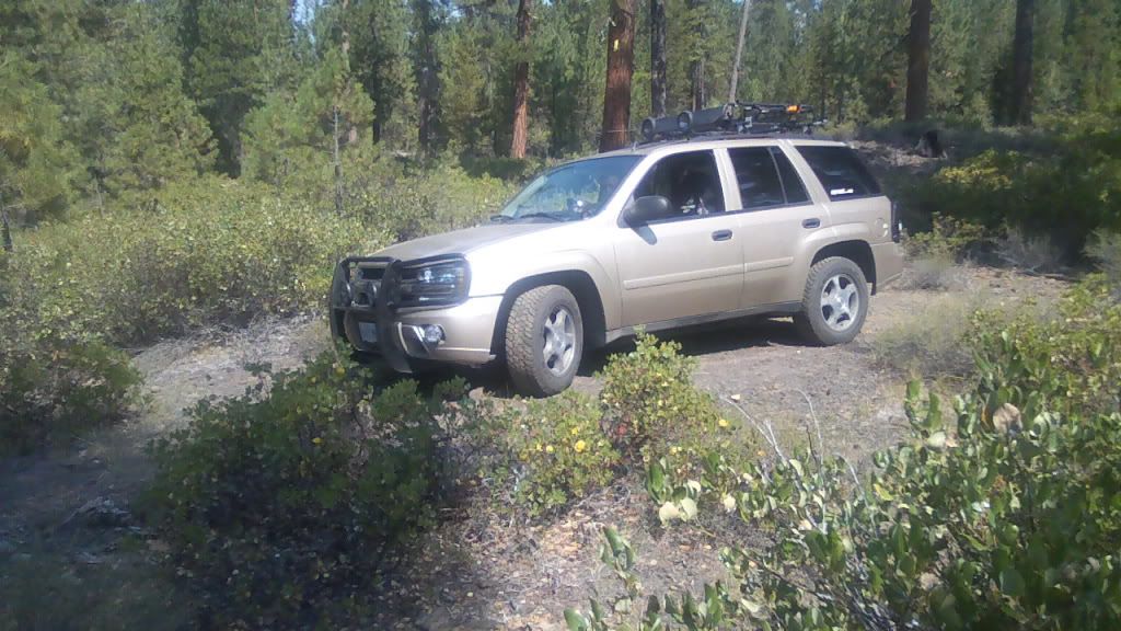
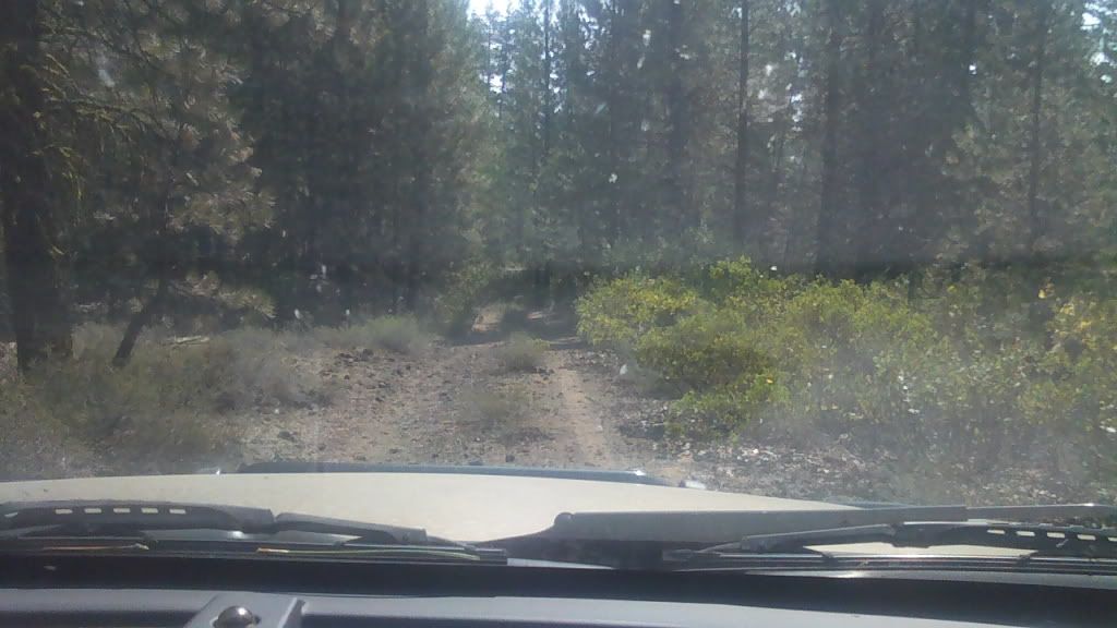
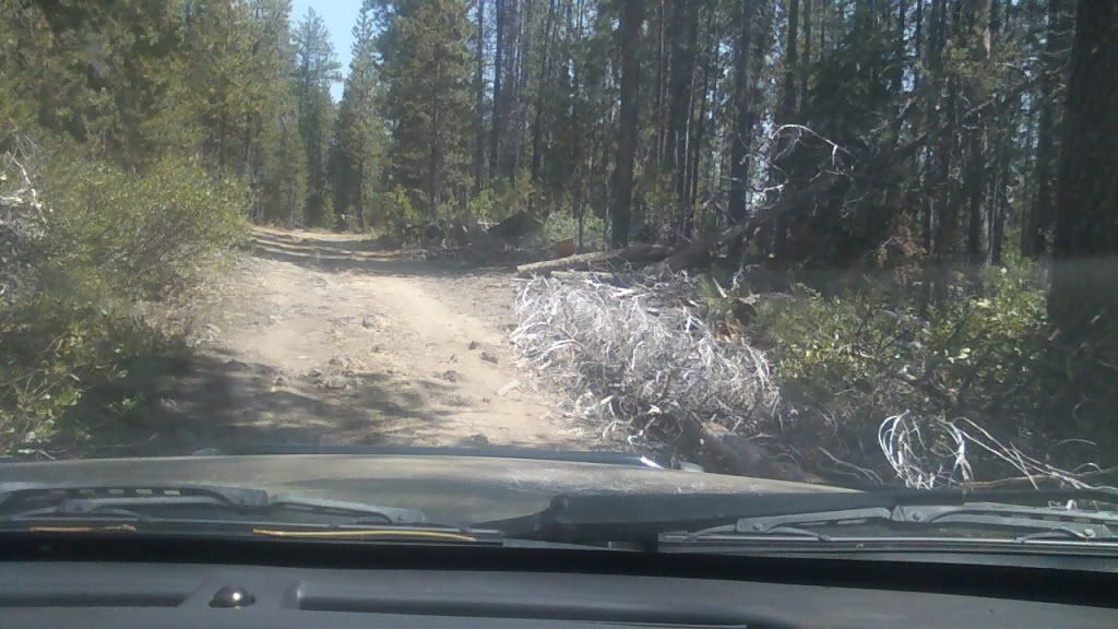
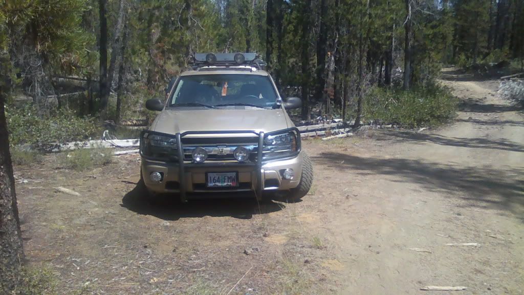
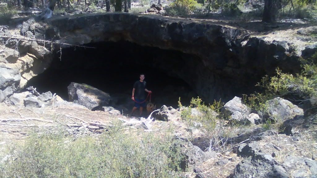
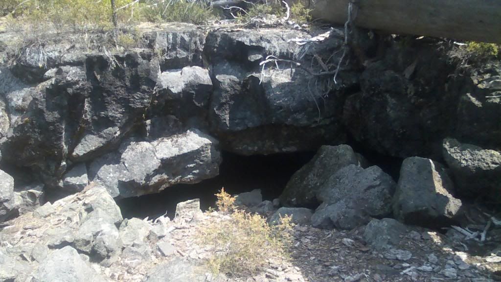
 Spent a few days, found the main cave, and then a larger cave as well. I'll post more pictures as I get them.


 I have to presume there are others, but not sure how'd you go about finding them.