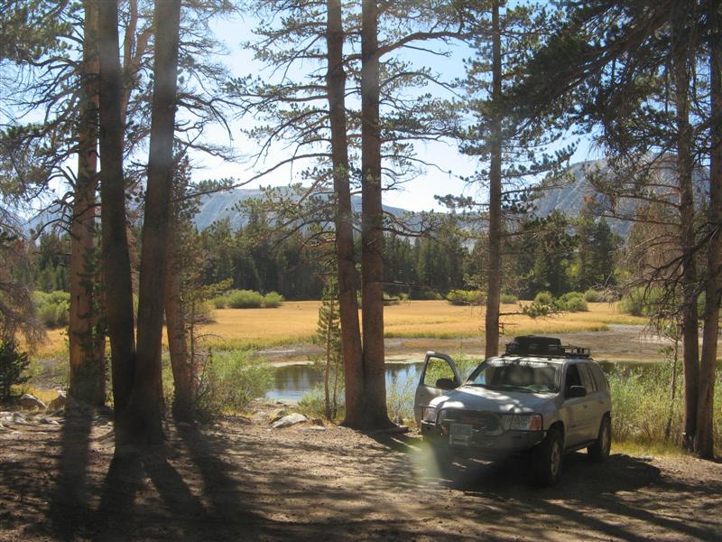
You would not BELIEVE the connection I'm able to post this report with, but I'm in a backcountry campground near Big Pine, CA, but my Moto Q phone is able to get a data connection, so from my tablet PC I can use the Q as a modem and so forth. Isn't technology wonderful?
Anyway, no time for longer report, since it's time to sit in the stream nearby and wash off the day's dust, but enjoy these pics for what it's worth.
Near Jawbone Station sort of near Lake Isabella, CA. Yes, you CAN stop in the middle of the road and take pictures. It's that deserted.

Red Rock Canyon State Park. Was going to camp here Sunday night, first night of the trip, but it was 92 degrees at 6PM so we said bah. And moved on.

Ended up at Walker Pass campground just off a road, but traffic wasn't too bad. Cooled off to 55 degrees at night. Stars like you couldn't believe.

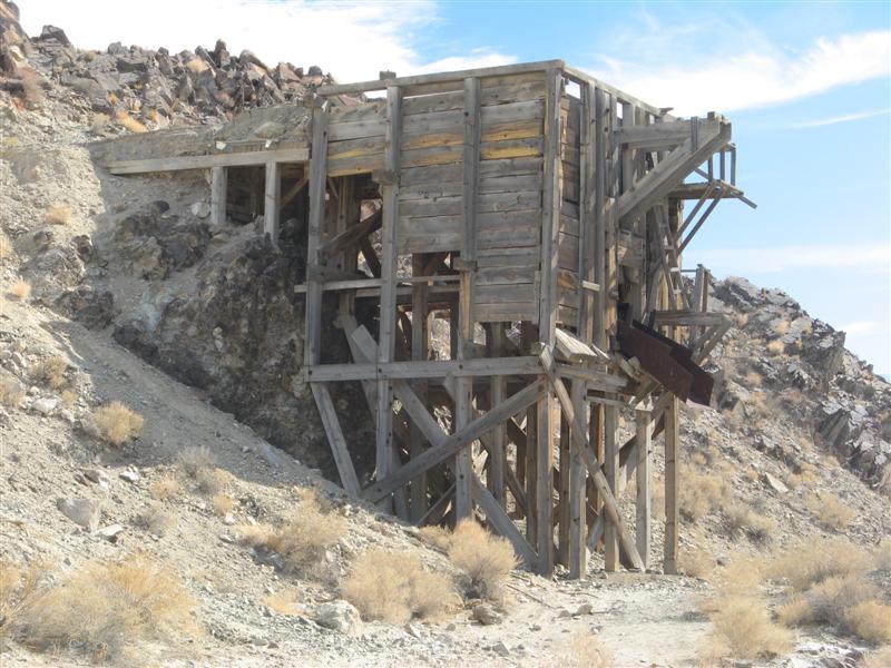
Cerro Gordo Mine road into Death Valley

Lippincott Mine Road - nasty trail into the Racetrack area of Death Valley (Google for it)

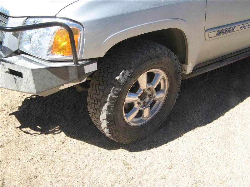
Lippincott Mine Road - yes we survived it, but my Airlift 1000 bags did not. I neglected to relieve the pressure as the temp went from 70 to 115. More data later on getting replacement Airlift bags overnighted into the nearest town that I could change them out at.

Here's me and the Spring copy of the Overland Journal that has a report on visiting the moving rocks on the Racetrack. We found the EXACT rock in one of their pictures and took a pic like this with the magazine open to the picture of THAT rock!

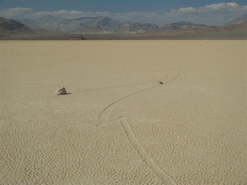
What the mud tracks look like left by the rocks.
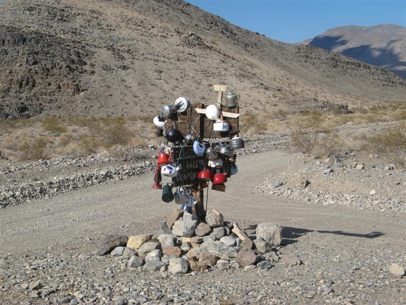
Teakettle Junction - Death Valley
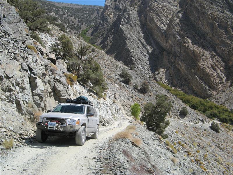
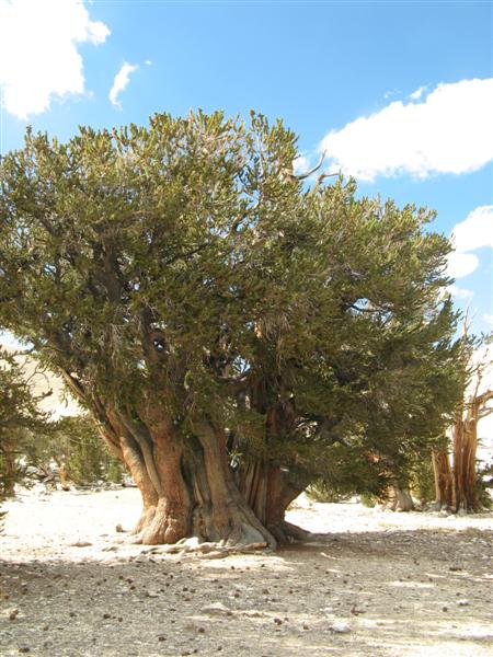
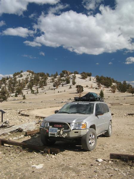
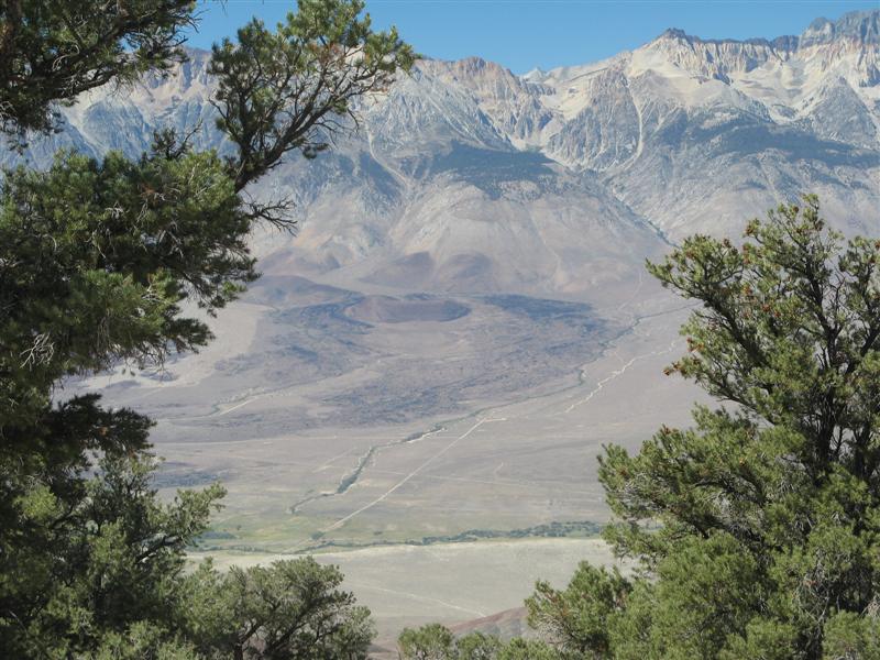
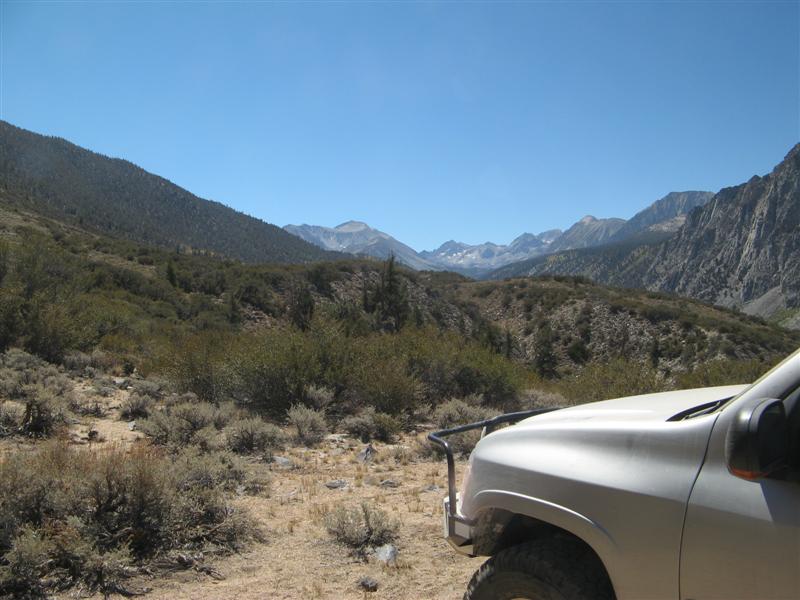
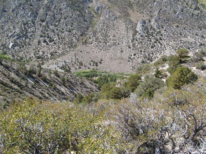
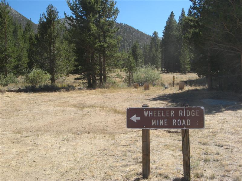
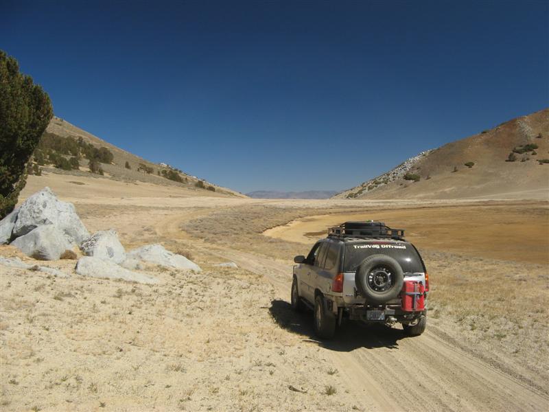
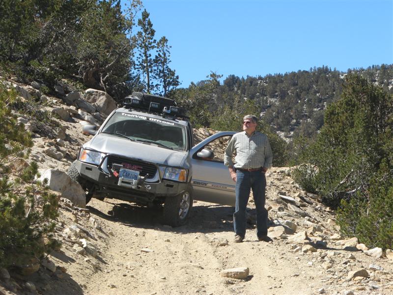
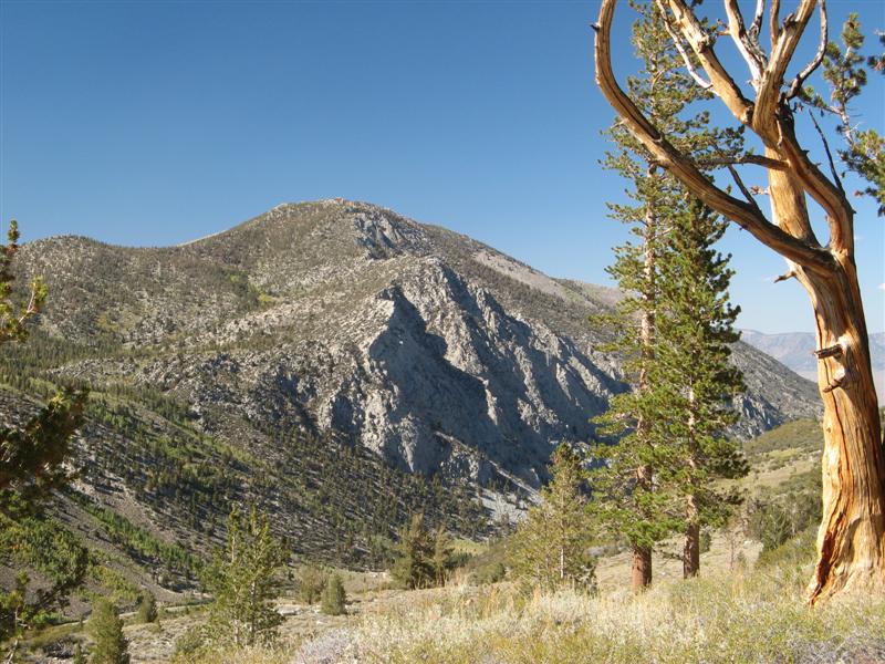
Silver Canyon from Bishop, CA to the Ancient Bristlecone Pine Forest.
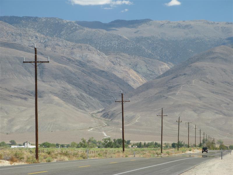
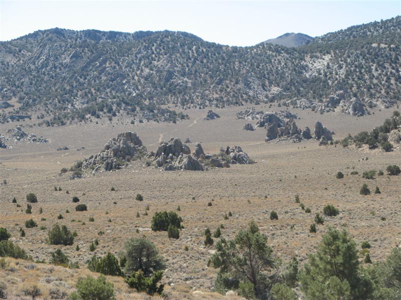
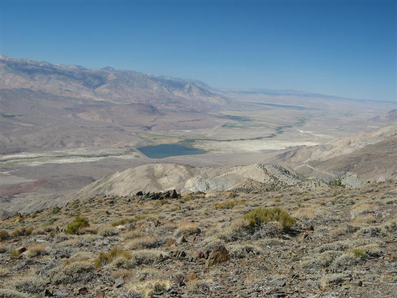
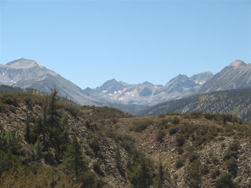
More Silver Canyon
